The American Society For Photogrammetry And Remote Sensing (ASPRS) is a leading professional organization dedicated to advancing the fields of geospatial information, photogrammetry, and remote sensing. For over eight decades, ASPRS has played a pivotal role in fostering innovation, collaboration, and knowledge sharing among scientists, engineers, and practitioners worldwide.
What is the American Society for Photogrammetry and Remote Sensing (ASPRS)?
ASPRS serves as a dynamic hub for professionals passionate about capturing, analyzing, and interpreting imagery and geospatial data to solve real-world challenges. From mapping and surveying to environmental monitoring and disaster response, ASPRS members contribute their expertise to a wide range of applications that benefit society and the planet.
 ASPRS Annual Conference
Key Objectives and Activities of ASPRS
ASPRS focuses on several core objectives to achieve its mission of advancing geospatial science and technology:
- Promote Research and Innovation: ASPRS actively encourages and supports cutting-edge research in photogrammetry, remote sensing, and related geospatial fields. The organization provides a platform for scientists and researchers to share their findings, collaborate on projects, and push the boundaries of knowledge.
- Disseminate Knowledge and Best Practices: ASPRS facilitates the exchange of technical information and best practices through its peer-reviewed journals, conferences, workshops, and online resources. The organization publishes the highly regarded “Photogrammetric Engineering & Remote Sensing” journal, a leading publication in the field.
- Professional Development and Certification: ASPRS offers a range of professional development opportunities, including certification programs that recognize expertise in specific areas of geospatial science. These certifications enhance the credibility and marketability of professionals in a competitive job market.
- Advocacy and Outreach: ASPRS advocates for the ethical and responsible use of geospatial technologies. The organization engages with policymakers, educators, and the public to raise awareness about the societal benefits of photogrammetry, remote sensing, and geospatial information.
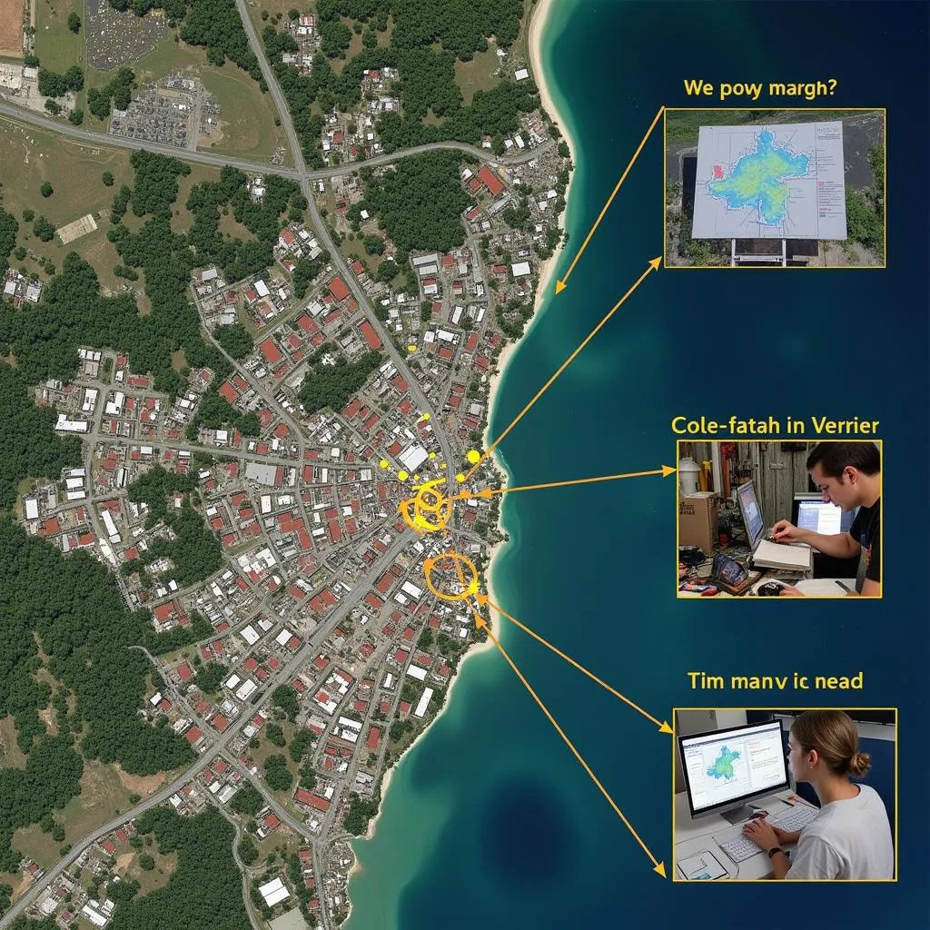
 ASPRS Remote Sensing for Disaster Relief
The Impact of ASPRS on Various Industries
The work of ASPRS members has a profound impact on numerous industries and sectors globally:
- Mapping and Surveying: Photogrammetry and remote sensing are essential for creating accurate maps, 3D models, and geospatial data that support land surveying, infrastructure development, urban planning, and resource management.
- Environmental Monitoring: ASPRS technologies are instrumental in monitoring deforestation, tracking climate change impacts, assessing air and water quality, and managing natural resources sustainably.
- Agriculture and Forestry: Precision agriculture relies heavily on remote sensing data to optimize crop yields, monitor plant health, and manage irrigation efficiently. Similarly, forestry professionals use these technologies for timber inventory, wildfire management, and habitat conservation.
- Disaster Response: In the aftermath of natural disasters, such as earthquakes, hurricanes, or floods, ASPRS members provide critical support by rapidly assessing damage, mapping affected areas, and guiding relief efforts.
Membership and Engagement
ASPRS welcomes individuals and organizations from diverse backgrounds who share a passion for geospatial science and its applications. Membership in ASPRS provides numerous benefits, including access to a global network of experts, professional development opportunities, industry publications, and involvement in cutting-edge research initiatives.
Conclusion
The American Society for Photogrammetry and Remote Sensing (ASPRS) continues to shape the future of geospatial science and technology. Through its dedication to innovation, collaboration, and the dissemination of knowledge, ASPRS empowers professionals to address critical challenges and create a more sustainable and informed world.
FAQ
1. What are the membership options available with ASPRS?
ASPRS offers various membership categories, including student, individual, and organizational memberships. Each category has specific benefits and fees.
2. How can I get involved with ASPRS beyond membership?
ASPRS provides numerous opportunities for engagement, such as volunteering at conferences, joining technical committees, contributing to publications, and participating in local chapters and events.
3. Does ASPRS offer scholarships or grants for students interested in geospatial science?
Yes, ASPRS is committed to fostering the next generation of geospatial professionals and offers scholarships and grants to support student research and educational pursuits.
4. Where can I find upcoming ASPRS conferences and workshops?
Information about upcoming events, including annual conferences, regional workshops, and online webinars, is available on the ASPRS website.
5. What are some career paths available in the field of photogrammetry and remote sensing?
Career opportunities in this field are diverse and include roles such as geospatial analyst, remote sensing scientist, photogrammetrist, surveyor, environmental consultant, and GIS specialist.
Need further assistance? Please contact us at:
Phone Number: 02043854663
Email: [email protected]
Address: Khu 34, Bắc Giang, 260000, Việt Nam
Our dedicated customer support team is available 24/7 to assist you.